
Geospatial & Environmental Division
Our Geospatial & Environmental Division integrates architecture, spatial planning, and environmental intelligence through GIS-based analysis, remote sensing, and environmental assessments. This division supports informed design decisions and sustainable development by understanding land, water, and ecological systems.
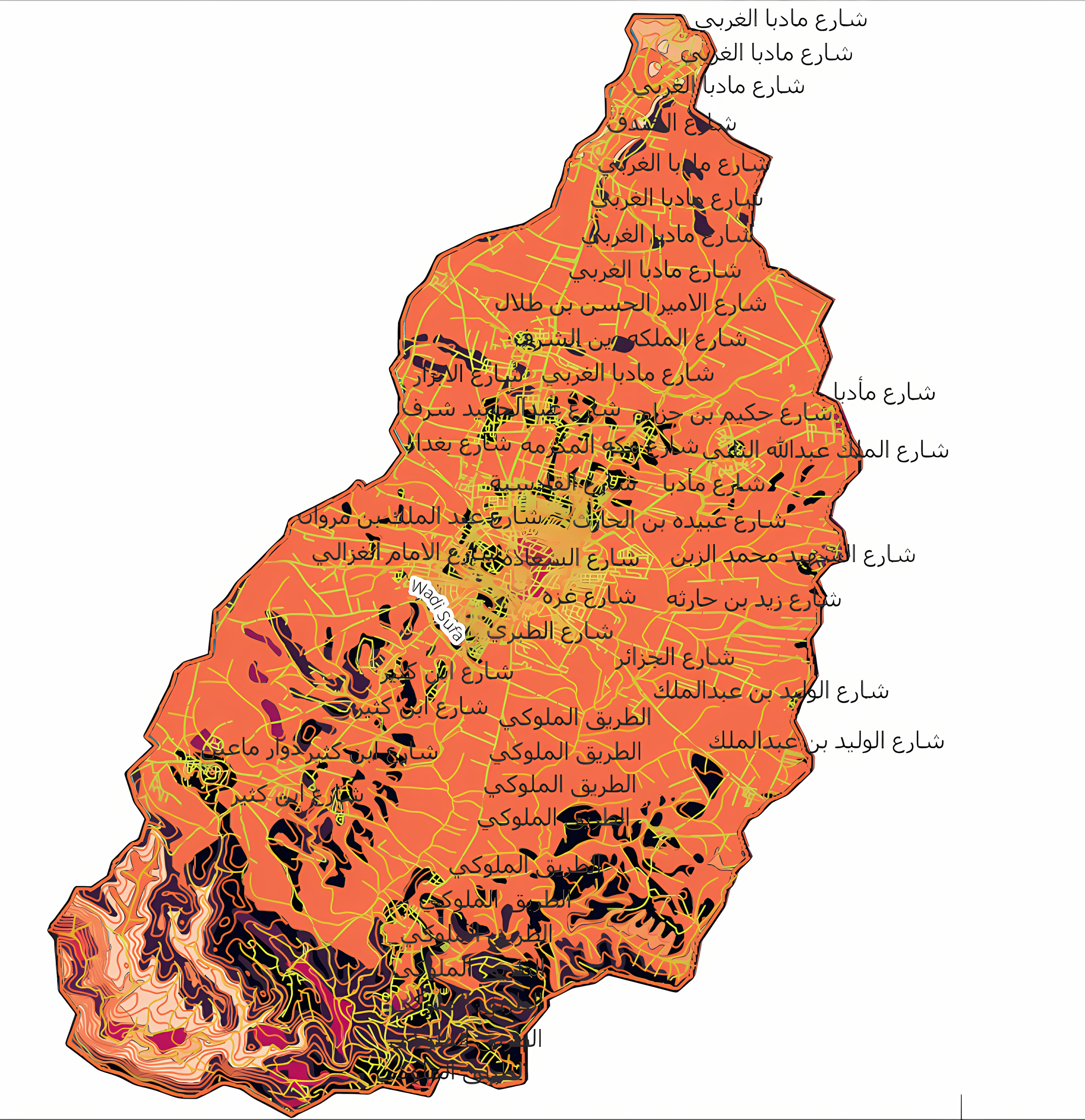
All geological and hydrogeological studies are conducted in collaboration with Dr. Elias Salameh, Geological & Hydrogeological Consultant.
Core Technical Expertise:
Geospatial & Spatial Analysis
• Site suitability and constraint analysis
• Terrain, slope, and elevation modeling
• View shed and visual impact studies
• GIS-based decision support for planning and design
Hydrology & Flood Risk Assessment
• Watershed and drainage basin analysis
• Flood risk identification and mitigation strategies
• Surface runoff and water flow modeling
• Climate-resilient water-sensitive planning support
Remote Sensing & Environmental Monitoring
• Urban Heat Island (UHI) analysis
• Land Use / Land Cover (LULC) mapping
• Environmental change detection using satellite imagery
• Long-term spatial environmental monitoring
Geomorphology & Environmental Assessment
• Terrain and soil stability assessment
• Geomorphological risk analysis
• Environmental baseline studies and EIA support
Land Reconnaissance & Site Appraisal
• Field site inspections and documentation
• Photographic surveys
• GIS-based site maps and analytical reports
Vegetation & Green Cover Monitoring
• Vegetation density and health assessment
• Green cover analysis for landscape and ecological planning
Water Monitoring & Environmental Observation
• Surface water monitoring and spatial analysis
• Seasonal variation and environmental stress indicators
• Support studies for sustainable water management